Virtual Institute for Geomatics – PoVIG
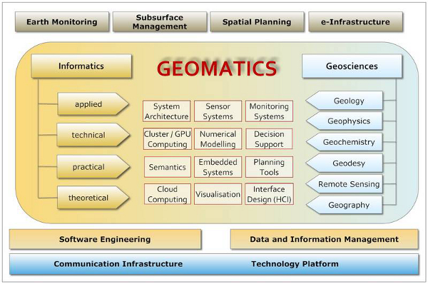
Geomatics is the discipline of gathering, storing, processing, and delivering geographic information, or spatially referenced information. The Potsdam Virtual Institute for Geomatics (POVIG) is an inderdisciplinary platform for scientists from Deutsches GeoForschungsZentrum (GFZ) and Potsdam University in the field of earth science and computer science.
Image
Teaching
The group Operating Systems and Distributed Systems contributes in the following research and teaching activities:
- Summer semester 2018: Vorlesung Geomatik
- Winter semester 2017: Forschungsseminar Geomatik-Kolloquium
- Summer semester 2017: Vorlesung Geomatik
- Winter semester 2016: Forschungsseminar Geomatik-Kolloquium
- Summer semester 2016: Vorlesung Geomatik
- Winter semester 2015: Forschungsseminar Geomatik-Kolloquium
- Summer semester 2015: Vorlesung Geomatik
- Winter semester 2014: Interdisziplinäres Projekt Geomatik
- Winter semester 2014: Forschungsseminar Geomatik-Kolloquium
- Summer semester 2014: Vorlesung Geomatik
- Summer semester 2013: Forschungsseminar Geomatik-Kolloquium
Publications
Speeding up reactive transport simulations: statistical surrogates and caching of simulation results in lookup tables
Marco De Lucia, Max Lübke and Bettina Schnor
Accepted for the EGU General Assembly
Vienna, Austria, April 2024
[BibTex]
[Abstract]
Design Principles for resilient cyber-physical Early Warning Systems - Challenges, Experiences, Design Patterns, and Best Practices (poster)
Stephan Gensch, Bettina Schnor and Joachim Wächter
American Geophysical Union Fall Meeting 2014
San Francisco, USA, December 2014
Auswertung von Webserver-Logdateien zur Erstellung von Erdbebenereignis bezogenen Statistiken
Danny Puhan, Bachelorarbeit
A comparison of CUDA and OpenACC: Accelerating the Tsunami Simulation EasyWave
Steffen Christgau, Johannes Spazier, Bettina Schnor, Martin Hammitzsch, Andrey Babeyko and Joachim Wächter
In Proceedings of the 11th Workshop on Parallel Systems and Algorithms (PASA)
Lübeck, Germany, February 2014
Porting the EasyWave core on a GPU platform to accelerate the tsunami early warning system TRIDEC
Johannes Spazier
Bachelor thesis, 2013